

Maps
All maps submitted through the on-line DistrictR mapping tool can be viewed on DistrictR.
Maps and comments received to date
The County has received numerous comments from the public about supervisorial redistricting. The comments are considered by County staff and our consultants as draft maps are prepared. The comments are also provided to the Board of Supervisors for their consideration when they review alternative maps and select new district boundaries.
View a summary of comments received at the community meetings here.
View comments and maps received between the October 19, 2021 and the November 9, 2021 hearings here
View comments and maps received before the October 19, 2021 meeting here.
Submit a Map
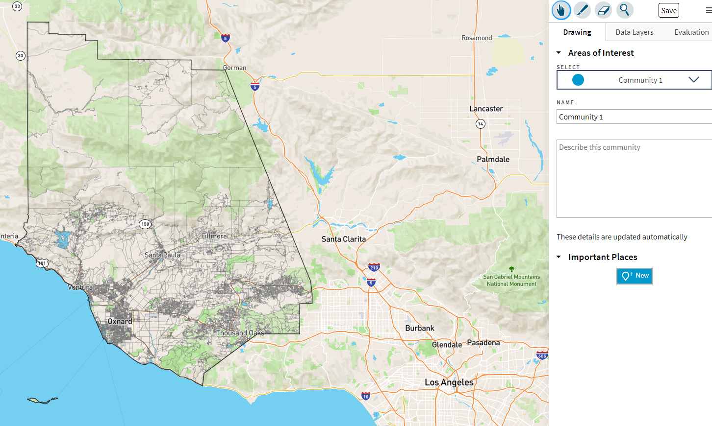
DistrictR is a community mapping tool that can be used to submit a Community of Interest map and to submit a district plan once the 2020 Census Bureau has released the 2020 Census data. Click here to use the Community Mapping Tool and submit your map.
2011 Redistricting Results
In 2011, the Board of Supervisors adopted the supervisorial district boundaries still currently in effect until the completion of the 2021 redistricting process.
Supervisorial District Maps – Black and White / Color
Memo on the County of Ventura’s Existing Districts 2020 Census Totals


