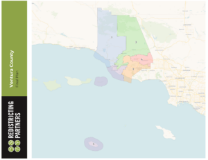
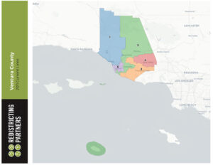
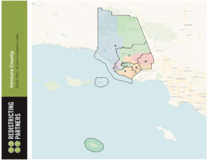
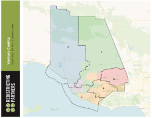
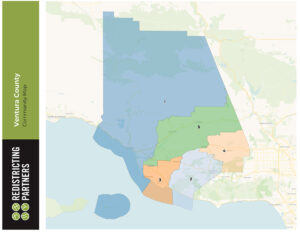
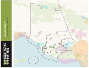
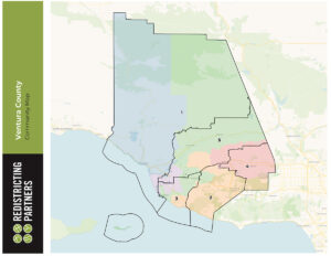
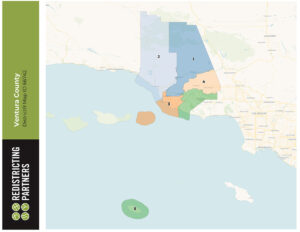
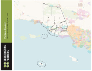
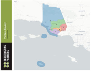
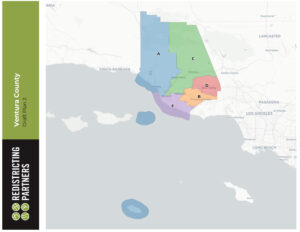
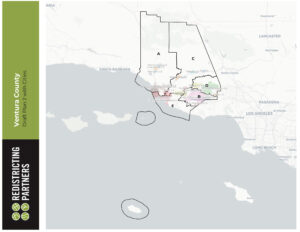
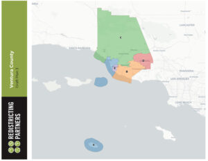
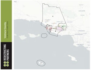
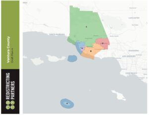
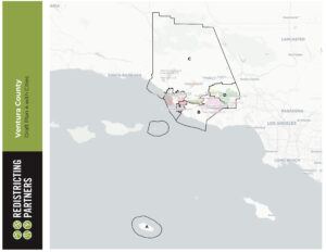
Final Map
Final map to be adopted at December 7 public hearing.
The Fair Maps Act Redistricting Criteria:
- Compliance with the Constitution and the Federal Voting Rights Act
- Equal Population based on the US Census Data
- All districts must be contiguous
- Community of Interest Testimony
- Follow cities and other jurisdictional boundaries
- Create compact districts as defined by California Law
- Not treat incumbents or candidates as a community of interest
- Not draw district lines to benefit a political party
- The Fair Maps Act also ensures that there are numerous opportunities for the public to participate in the process and provide community of interest testimony.
Learn more about how to get involved at https://ventura.org/redistricting/participation/.
CLICK IMAGE TO VIEW FILE
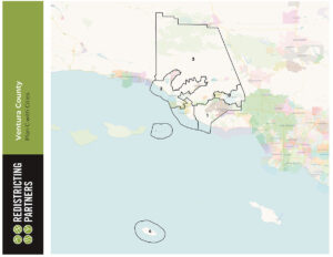
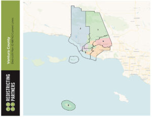
Informational Map – Existing Supervisorial Districts with 2020 Census Data
Below is a map with the existing Supervisor District boundaries based on the 2010 census data. The attachment also includes the 2020 census data in a table so that the public can see how the 2020 census data impacts the existing Supervisor District boundaries. This is for informational purposes only. The Fair Maps Act must be complied with in evaluating and refining district boundaries.
Draft Supervisorial District Maps
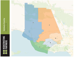
Draft Plan A
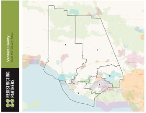
Draft Plan A with Cities
To view the Draft Plan A Map in more detail please click here.
Draft Plan B
Draft Plan B with Cities
To view the Draft Plan B Map in more detail please click here.
Draft Plan C
Draft Plan C with Cities
To view the Draft Plan C Map in more detail please click here.


